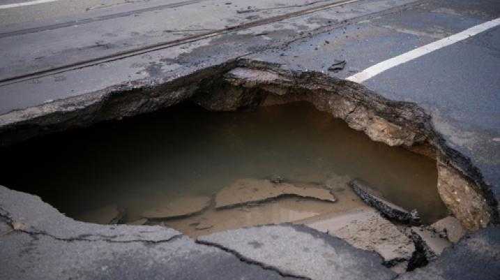
Florida Geological Survey to Use $1M Grant to Map Sinkhole Risk Areas

A $1.08 million federal grant will be used by the Florida Geological Survey and Florida Division of Emergency Management to help map areas throughout the state that may be at a higher risk of developing sinkholes.
Financed by the Federal Emergency Management Agency in coordination with Florida’s division of emergency management, the three-year research project will tentatively begin in an area within Suwannee, Hamilton and Columbia counties. After the first year, according to Harley Means, assistant state geologist at the Florida Geological Survey, the endeavor will expand to the rest of the state.
The impetus for the federal grant was really sparked by the destruction caused by Tropical Storm Debbie in 2012 in multiple cities across Florida.
Detailed online by North Central Florida news outlet WUFT{:target="_blank"}, the project is currently in the hiring and planning stage, with a more complete model expected to be built within the next 15 months. Once finished, the project will become a useful tool to help Floridians and insurance providers become aware of where sinkholes may be more likely to develop. According to Means, however, just because an area is considered high risk does not assure a sinkhole will eventually form.
“Even if you live in an area, based on the maps that we ultimately generate, that says you are in a high vulnerability area,” Means said, “that never means that you are definitely going to experience one.”
Geological experts have characterized Florida’s recent boom in sinkhole activity as an epidemic. Florida’s natural topographic makeup of fragile underlying limestone, especially when subject to heavy rain or periods of drought, is usually the primary catalyst for when ground suddenly or slowly gives way under the weight of whatever is above it. According to Means, however, the impetus for the federal grant was really sparked by the destruction caused by Tropical Storm Debbie in 2012 in multiple cities across Florida.
Another factor, Means believes, is that these sinkholes are more frequently forming in areas with a higher population density, a disturbing fact considering that, due to how often sinkholes occur in some areas, one policyholder in Alachua County, for example, may pay $60 a year for coverage, while another in a more sinkhole-prone area can pay nearly $2,000 a year for the same coverage.
“The counties that are seeing more reports of sinkholes are the ones with higher population,” Means told WUFT. “That means more and more people are moving into areas where sinkholes are occurring.”
Much of the data collected by the study, according to Citizens Property Insurance media relations manager Michael Peltier, could be compared to insurance companies’ database information to more effectively plot which areas are most likely to be affected by ground loss. Ultimately, the project hopes to create a “comparative map” that will be useful to insurance providers, homeowners, and Florida residents considering moving into a potentially active sinkhole area.
According to Peltier, of the $1.2 billion in sinkhole-related losses reported by Citizens Property Insurance between 2008 and 2012, 80 percent of which occurred in Tampa Bay-area counties.
Injured? Getting the compensation you deserve starts here.

Injured?
Not sure what to do next?
We'll guide you through everything you need to know.